
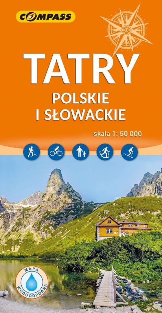
TATRA POLISH AND SLOVAK MAP 1:50 000
Discover the beauty of the Tatra Mountains with our double-sided, laminated tourist map at a scale of 1:50 000. Ideal for mountain hiking enthusiasts, skiers and cyclists. This detailed map will help you plan unforgettable trips on both the Polish and Slovak sides of the Tatra Mountains. Indispensable for every mountain adventure!
- Double-sided and laminated - high durability and resistance to weather conditions
- Scale 1:50 000 - detailed representation of the terrain
- Current edition - the latest trails and tourist information
- Includes the Polish and Slovak Tatra Mountains - comprehensive coverage of the entire mountain range
- Detailed network of trails - hiking, cycling and ski trails with travel times
- Tourist infrastructure - mountain huts, parking lots, TPN ticket offices
- Shading of the terrain - facilitates orientation in the field
Our Tatra map is an indispensable tool for every tourist who wants to discover the beauty of these mountains. Thanks to the detailed representation of the terrain, realistic shading of the relief and the accurate network of trails, planning hikes becomes easy and enjoyable. The map covers both the Polish and Slovak Tatra Mountains, including the Western, High and Bielskie Tatras. You will find all the most important peaks, valleys, passes and natural and landscape attractions.
The map was published by the renowned Compass Publishing House, which specializes in creating high-quality tourist maps. Thanks to the laminated surface, the map is resistant to moisture and mechanical damage, which ensures its long-term use in difficult mountain conditions. The scale of 1:50 000 allows for detailed planning of the route, taking into account all important landmarks and tourist infrastructure.
Regardless of whether you are an experienced mountain hiker or are just starting your adventure in the Tatra Mountains, our map will be your reliable guide. You will find detailed information about hiking, cycling and ski trails, as well as tourist infrastructure such as mountain huts, parking lots, TPN ticket offices and rest areas. Thanks to the realistic shading of the terrain, orientation in the field becomes easy and intuitive.
The Tatra map is the perfect gift for every lover of mountain hiking and active recreation. Thanks to it, every trip to the Tatra Mountains will become an unforgettable experience. Order today and set off on the trail with our reliable guide!
Specifications
| Author | praca zbiorowa |
| Publisher | Compass |
| ISBN | 9788381847971 |
| Binding | laminowana |
| Number of pages | 0 |
| Format | 238x125 mm |
| Year of publication | 2025 |
Compass Map Tatra Polish and Slovak 1:50 000 - ideal for mountain trips
Gross price, incl. VAT
Shipping costs:
EAN: 9788381847971