
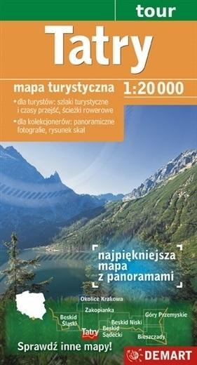
TATRA TOURIST MAP 1:20,000 + ZAKOPANE PLAN
Planning an unforgettable trip to the heart of the Tatra Mountains? This double-sided tourist map is your indispensable guide! Discover picturesque trails, plan routes and admire the panoramas. Thanks to the precise scale and rich information, your mountain adventure will be safe and full of impressions.
- Detailed scale 1:20,000 - precise terrain mapping.
- Double-sided map - convenient planning.
- Hiking trails with travel times - easy route planning.
- Educational paths and cycling routes - variety of activities.
- Location of ski lifts and ski slopes - for winter sports enthusiasts.
- Tatra panorama with peak names - unforgettable views.
- Local dictionary - get to know the Tatra Mountains better.
The Tatra tourist map from Demart is the perfect tool for both experienced hikers and beginner mountain lovers. The detailed drawing of rocks and shading reflect the relief of the terrain plastically, and the numerous panoramic photographs with signed peaks, passes, valleys and ponds delight with realism. You will also find a local dictionary that will bring you closer to the history and characteristics of the Tatra Mountains and the most important physiographic objects.
DEMART is a Polish cartographic publishing house with many years of experience in creating tourist maps and atlases. The company is known for its attention to detail, precise terrain mapping and up-to-date information. DEMART maps are created by experienced cartographers and geographers who are passionate about mountains and make every effort to ensure that users have the highest quality and safety while hiking.
Regardless of whether you are planning a quiet walk through a valley, a demanding climb to the summit, or a winter trip to ski, this Tatra tourist map will be your indispensable companion. Thanks to it, you will discover the beauty of the Tatra Mountains to the fullest and avoid unpleasant surprises on the trail. In addition, you will find maps of Zakopane and Nowy Targ in the set, which will make it easier for you to navigate around these popular tourist destinations.
Technical parameters: Scale: 1:20,000. Range: Western and High Tatras. Contents: Hiking trails, travel times, cycling paths, ski lifts, ski slopes, descents, panorama, local dictionary. Map type: Double-sided. Additional information: Plan of the city of Zakopane and Nowy Targ.
Don't risk getting lost on the trail! Choose the DEMART tourist map and enjoy a safe and successful trip to the Tatra Mountains! Discover every corner of this magical region and collect unforgettable memories!
CARUNO-2025-12-01-17:30:03 cuSpecifications
| ISBN | 9788374273459 |
| Author | praca zbiorowa |
| Format | 230x132 mm |
| Binding | folia |
| Year of publication | 2020 |
| Publisher | Demart |
| Release information | Format: 230x132 mm |
| Number of pages | 0 |
Demart Map Tatra 1:20,000 + plan of Zakopane - ideal for a trip
Gross price, incl. VAT
Shipping costs:
EAN: 9788374273459