
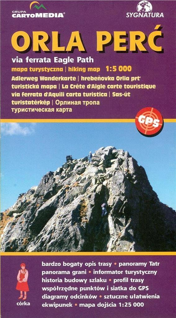
ORLA PERĆ HIKING MAP
Orla Perć, the pearl of the Polish Tatras, is a challenge for every mountain hiking enthusiast. Our map at a scale of 1:5,000 is an indispensable tool for those who want to conquer this legendary trail, providing precise information and safety during every expedition.
- Scale 1:5,000: Detailed representation of the terrain, allowing for precise route planning.
- Świnica and Kościelec Massif: All access routes are marked, making it easier to reach the destination.
- Artificial aids and hazards: Clearly marked to ensure maximum safety.
- Shading and rock drawing: Guarantee proper reading of the landform.
- Contour lines every 5 m: Enable accurate analysis of altitude and terrain slope.
- GPS geographical coordinates: Facilitate navigation in the field.
- Diagrams of route sections: Contain information about the sum of ascents, descents, length and difficulty level.
The Orla Perć map was created for tourists who want to conquer this demanding trail. Thanks to the precise representation of the terrain, every mountain hiking enthusiast can feel confident and safe while overcoming subsequent stages of the route. Colorful shading and rock drawing allow for intuitive reading of the landform, and contour lines every 5 meters enable accurate analysis of altitude and terrain slope. It is not just a map, but also the key to a successful and safe adventure in the heart of the Tatras.
The Sygnatura publishing house, known for its attention to the quality and precision of its maps, gives you a product that will meet the expectations of even the most demanding tourists. The Orla Perć map is the result of years of experience and passion for mountain hiking. Each element of the map has been carefully thought out to ensure maximum usability and comfort of use. In addition, on the reverse of the map you will find a detailed description of the route with the history of the construction, a route profile, panoramas from Krzyżne and Koziego Wierchu, and many other valuable information.
Regardless of whether you are an experienced climber or a beginner, the Orla Perć map will be your indispensable companion during every expedition. With it, you will conquer this legendary trail with full confidence in your capabilities and safety. Let the Orla Perć map be your guide to the most beautiful corners of the Tatras and make every hike an unforgettable experience.
The Orla Perć map is also a great gift idea for every mountain hiking enthusiast. Make a loved one happy by giving them a map that will allow them to discover the beauty and magic of the Tatras. It is a gift that will be remembered for a long time and will remind you of unforgettable moments spent in the mountains. Don't wait, reach for the Orla Perć map and conquer the Tatras today!
Specifications
| ISBN | 9788374990028 |
| Format | 12x22 cm |
| Binding | broszurowa |
| Year of publication | 2006 |
| Publisher | Sygnatura |
| Release information | Format: 12x22 cm |
| Number of pages | 0 |
Sygnatura Orla Perć - Hiking map for demanding users
Gross price, incl. VAT
Shipping costs:
EAN: 9788374990028