
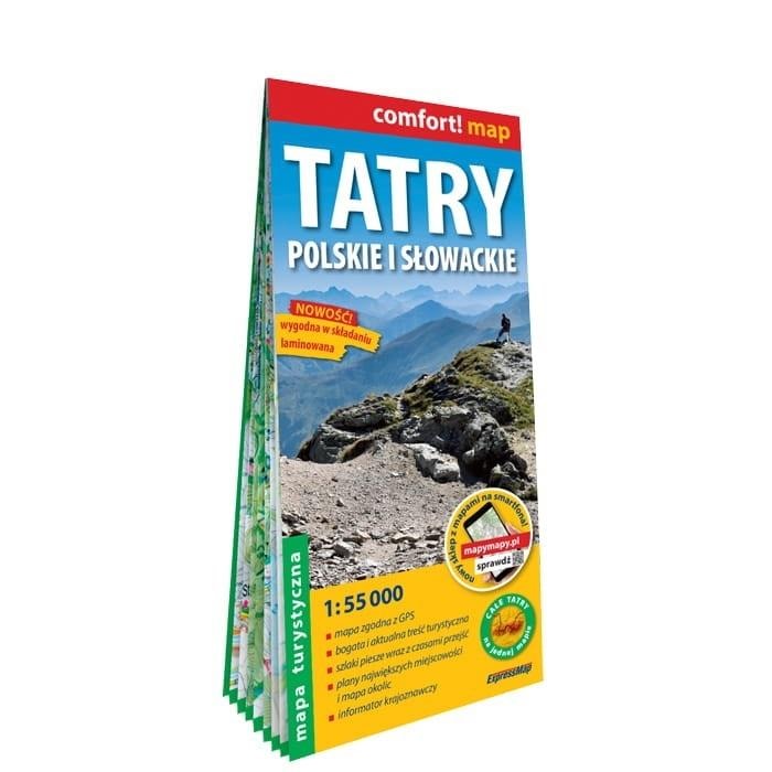
MAP POLISH AND SLOVAK TATRA 1:55 000
Discover the beauty of the Tatra Mountains with our detailed map! Ideal for every lover of mountain hiking, both on the Polish and Slovak sides. This double-sided laminated map was created in cooperation with experienced local historians from the region to provide you with the most up-to-date and accurate information. Whether you are planning a leisurely walk or a challenging climb, our map will be an indispensable companion for your adventure.
- Scale 1:55 000 - ideal for hikers
- Double-sided laminated - resistant to weather conditions
- GPS coordinates - compatibility with the WGS-84 system
- Rich tourist content - trails, shelters, parking lots
- Local history guide - interesting places and practical tips
- City plans - Zakopane, Strbske Pleso, Stary Smokovec and Tatranska Lomnica
Our Tatra map is not only a navigation tool, but also a source of knowledge about the region. Thanks to the local history information, you will learn about the history and culture of the Tatra Mountains, discover unique places and plan unforgettable trips. Cooperation with local historians guarantees that the map contains the latest and verified information that will help you fully enjoy your stay in the mountains.
The map was published by ExpressMap, a renowned publisher of tourist and car maps. ExpressMap has been specializing in creating high-quality publications for years, which are appreciated by tourists and professionals alike. By choosing our Tatra map, you can be sure that you are receiving a product that will meet your expectations and help you discover the beauty of the Tatra safely and comfortably.
In addition, the map includes a car map of the Tatra area on a scale of 1:225 000 and city plans of Zakopane, Strbske Pleso, Stary Smokovec and Tatranska Lomnica. This makes it easy to plan your trip to the Tatra Mountains and get around the most important towns in the region. Whether you are traveling by car, bus or on foot, our map will be an indispensable source of information and will help you make the most of your time in the Tatra Mountains.
Specifications
| ISBN | 9788381907286 |
| Author | Opracowanie zbiorowe |
| Series | mapa laminowana |
| Type | Książki |
| Year of publication | 2023 |
| Publisher | ExpressMap |
| Number of pages | 2 |
| Release date | 2025-05-15 |
| Age category | + |
| Scale | 1:55 000 |
| Binding | laminated |
| Format | 114x244 mm |
ExpressMap Polish and Slovak Tatra - tourist map 1:55 000
Gross price, incl. VAT
Shipping costs:
EAN: 9788381907286